FRENCHTOWN 150

This was a project that blended documentary-style photographs with spatial technology to produce a Google Earth-based product.
150 locations throughout Frenchtown were identified and included every storefront and cafe, every street and the towns major infrastructure.
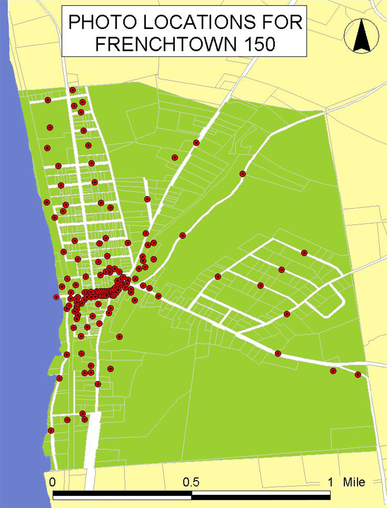
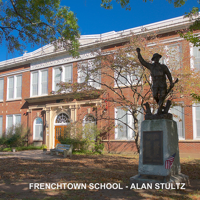
Project photographers were then invited to select locations that they would photograph for the project. Every photo was geotagged with the latitude/longitude and labeled with the location ID and the photographer's name.
The latitude/longitude values in the metadata of each photo were compiled into a KML file that can be read on Google Map. It is a little tricky to view. Users need to download the KML file onto their computers then double click it to open the interactive map.
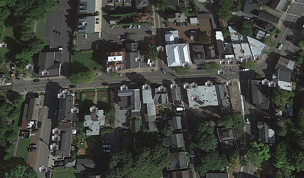
Camera icons show the locations of the all the photos and when click on, the image pops up. Even though it was not that long ago, Frenchtown is always changing this project has become a snapshot in it's recent history.
The file can be downloaded here: FRENCHTOWN 150
For details on the project and how it is done check out this article in Apogee Magazine:
Leveraging Google Earth in Photography Projects

